Geolocate

Chanika topographic map

Click on the map to display elevation.

About this map

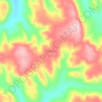
Name: Chanika topographic map, elevation, terrain.

Location: Chanika, Karagwe, Kagera, Lake Zone, Tanzania (-1.46786 31.07079 -1.42786 31.11079)

Average elevation: 4,882 ft

Minimum elevation: 4,475 ft

Maximum elevation: 5,217 ft

Other topographic maps

Click on a map to view its topography, its elevation and its terrain.

Muleba

Tanzania > Kagera

Average elevation: 4,121 ft

Bukoba

Tanzania > Kagera

Average elevation: 3,990 ft

Karagwe

Tanzania > Kagera

Average elevation: 4,442 ft

Kibeta

Tanzania > Kagera

Average elevation: 4,137 ft

Karagwe

Tanzania > Kagera

Average elevation: 4,442 ft

Karagwe

Tanzania > Kagera

Average elevation: 4,442 ft

Gear up for your next adventure:

🔊Portable Camp Speaker - Music and alerts at camp
GPS Sports Watch - GPS watch for running, hiking and training
📡Handheld GPS Device - Reliable handheld GPS for outdoor navigation
🏕️Tent Footprint - Protect your tent base from wear
🧤Hiking Gloves - Protective gloves for rugged trails

As an Amazon Associate, this site earns from qualifying purchases at no extra cost to you.