
Carugate topographic map
Click on the map to display elevation.
About this map
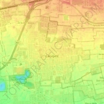
Name: Carugate topographic map, elevation, terrain.
Location: Carugate, Rodano, Milan, Lombardy, 20061, Italy (45.53983 9.32171 45.56203 9.36656)
Average elevation: 489 ft
Minimum elevation: 390 ft
Maximum elevation: 535 ft
Other topographic maps
Click on a map to view its topography, its elevation and its terrain.