
凤山村 topographic map
Interactive map
Click on the map to display elevation.
About this map
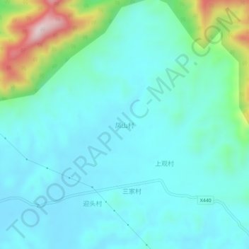
Name: 凤山村 topographic map, elevation, terrain.
Location: 凤山村, 肇庆市, 广东省, 中国 (23.50765 112.76260 23.54765 112.80260)
Average elevation: 354 ft
Minimum elevation: 75 ft
Maximum elevation: 1,529 ft
Other topographic maps
Click on a map to view its topography, its elevation and its terrain.