
鲁塘 topographic map
Interactive map
Click on the map to display elevation.
About this map
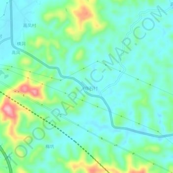
Name: 鲁塘 topographic map, elevation, terrain.
Location: 鲁塘, 肇庆市, 广东省, 中国 (23.84943 112.18631 23.88943 112.22631)
Average elevation: 318 ft
Minimum elevation: 167 ft
Maximum elevation: 781 ft
Other topographic maps
Click on a map to view its topography, its elevation and its terrain.