
花溪水库 topographic map
Interactive map
Click on the map to display elevation.
About this map
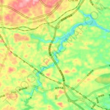
Name: 花溪水库 topographic map, elevation, terrain.
Location: 花溪水库, 花溪区, 贵阳市, 贵州省, 中国 (26.40449 106.57170 26.45552 106.64469)
Average elevation: 3,930 ft
Minimum elevation: 3,678 ft
Maximum elevation: 4,229 ft
Other topographic maps
Click on a map to view its topography, its elevation and its terrain.