Geolocate

Hanley topographic map

Click on the map to display elevation.

About this map

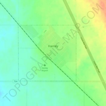
Name: Hanley topographic map, elevation, terrain.

Location: Hanley, Division No. 11, Saskatchewan, S0G 2E0, Canada (51.62011 -106.45292 51.63438 -106.42910)

Average elevation: 1,942 ft

Minimum elevation: 1,886 ft

Maximum elevation: 2,021 ft

Other topographic maps

Click on a map to view its topography, its elevation and its terrain.

Bay Trail

Canada > Saskatchewan > Division No. 11 > Wolverine No. 340

Average elevation: 1,818 ft

Gear up for your next adventure:

🔥Fast-Boil Camping Stoves - Efficient cooking systems for quick trail meals
🧥Men's Rain Shells - Premium waterproof and breathable jackets for mountain weather
👖Convertible Hiking Pants - Versatile zip-off pants for changing altitudes and temperatures
🔦LED Headlamp - Bright and durable LED headlamp for night navigation
📶Vehicle Signal Boosters - Improve reception in rural areas while driving to trailheads

As an Amazon Associate, this site earns from qualifying purchases at no extra cost to you.