Geolocate

Zumbro topographic map

Click on the map to display elevation.

About this map

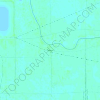
Name: Zumbro topographic map, elevation, terrain.

Location: Zumbro, Bolivar County, Mississippi, United States (33.75956 -90.69621 33.79956 -90.65621)

Average elevation: 141 ft

Minimum elevation: 131 ft

Maximum elevation: 154 ft

Bolivar County trails, hiking, mountain biking, running and outdoor activities

Other topographic maps

Click on a map to view its topography, its elevation and its terrain.

Rosedale

United States > Mississippi > Bolivar County

Average elevation: 148 ft

Gear up for your next adventure:

🛠️Outdoor Gear Repair Kit - Essential tools to fix gear on the trail
🧦Hiking Socks - Comfortable socks to prevent blisters on long hikes
🍳Camping Cook Set - Complete cookware for outdoor meals
🔭Stargazing Telescopes - Perfect for camping in low-light pollution areas shown on maps
🌡️Portable Weather Meter - Track weather conditions on the trail

As an Amazon Associate, this site earns from qualifying purchases at no extra cost to you.