Geolocate

Rosedale topographic map

Click on the map to display elevation.

About this map

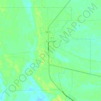
Name: Rosedale topographic map, elevation, terrain.

Location: Rosedale, Bolivar County, Mississippi, United States (33.83339 -91.05706 33.86918 -91.00663)

Average elevation: 148 ft

Minimum elevation: 121 ft

Maximum elevation: 171 ft

Bolivar County trails, hiking, mountain biking, running and outdoor activities

Other topographic maps

Click on a map to view its topography, its elevation and its terrain.

Zumbro

United States > Mississippi > Bolivar County

Average elevation: 141 ft

Gear up for your next adventure:

🔦LED Headlamp - Bright and durable LED headlamp for night navigation
Backpacking Tent - Lightweight and durable tent for multi‑day hikes
🥾Hiking Shoes - Durable and comfortable shoes for trail hiking
🛶Inflatable Kayak - Portable kayak for rivers, lakes, and expeditions
🧣Hiking Neck Gaiter - Multi‑use neck protection for outdoor weather

As an Amazon Associate, this site earns from qualifying purchases at no extra cost to you.