
修水县 topographic map
Interactive map
Click on the map to display elevation.
About this map
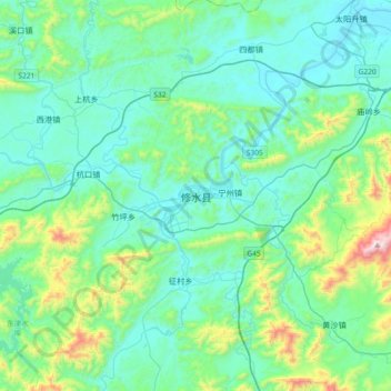
Name: 修水县 topographic map, elevation, terrain.
Location: 修水县, 九江市, 江西省, 中国 (28.86755 114.38225 29.18755 114.70225)
Average elevation: 846 ft
Minimum elevation: 233 ft
Maximum elevation: 3,809 ft
Other topographic maps
Click on a map to view its topography, its elevation and its terrain.