
庙岭乡 topographic map
Interactive map
Click on the map to display elevation.
About this map
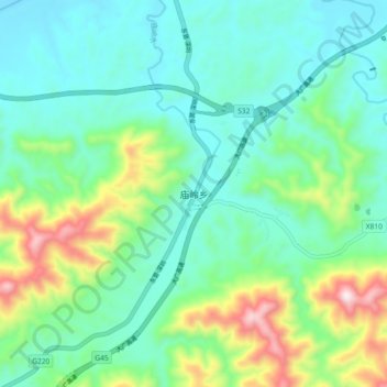
Name: 庙岭乡 topographic map, elevation, terrain.
Location: 庙岭乡, 修水县, 九江市, 江西省, 中国 (29.05758 114.66388 29.13758 114.74388)
Average elevation: 781 ft
Minimum elevation: 249 ft
Maximum elevation: 2,352 ft
Other topographic maps
Click on a map to view its topography, its elevation and its terrain.