
黄龙乡 topographic map
Interactive map
Click on the map to display elevation.
About this map
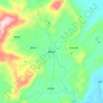
Name: 黄龙乡 topographic map, elevation, terrain.
Location: 黄龙乡, 修水县, 九江市, 江西省, 中国 (28.98958 113.99333 29.06958 114.07333)
Average elevation: 1,207 ft
Minimum elevation: 545 ft
Maximum elevation: 2,648 ft
Other topographic maps
Click on a map to view its topography, its elevation and its terrain.