
Thank you for supporting this site ❤️
Make a donation
Make a donation
Gear up for your next adventure:
As an Amazon Associate, this site earns from qualifying purchases at no extra cost to you.
Moorhouse topographic map
Click on the map to display elevation.
Thank you for supporting this site ❤️
Make a donation
Make a donation
Gear up for your next adventure:
As an Amazon Associate, this site earns from qualifying purchases at no extra cost to you.
About this map
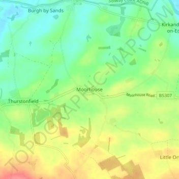
Name: Moorhouse topographic map, elevation, terrain.
Location: Moorhouse, Carlisle, Cumbria, England, CA5 6HA, United Kingdom (54.88229 -3.06408 54.92229 -3.02408)
Average elevation: 108 ft
Minimum elevation: 20 ft
Maximum elevation: 236 ft
Thank you for supporting this site ❤️
Make a donation
Make a donation
Gear up for your next adventure:
As an Amazon Associate, this site earns from qualifying purchases at no extra cost to you.
Other topographic maps
Click on a map to view its topography, its elevation and its terrain.
Oatlands Plantation
United Kingdom > England > Cumbria > Carlisle > Rockcliffe
Average elevation: 52 ft