
Cottleville topographic map
Click on the map to display elevation.
About this map
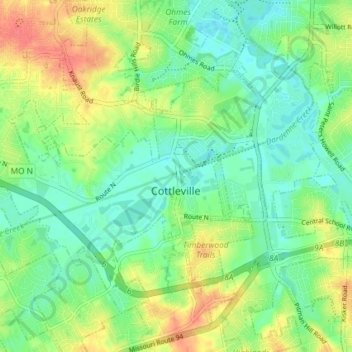
Name: Cottleville topographic map, elevation, terrain.
Average elevation: 512 ft
Minimum elevation: 443 ft
Maximum elevation: 627 ft
Saint Charles County trails, hiking, mountain biking, running and outdoor activities
Other topographic maps
Click on a map to view its topography, its elevation and its terrain.
Mississippi & Missouri River Confluence Point
United States > Missouri > Saint Charles County > West Alton
Average elevation: 413 ft
The Bluffs Lake Dam
United States > Missouri > Saint Charles County > Harvester
Average elevation: 515 ft