
Monroes Corner topographic map
Click on the map to display elevation.
About this map
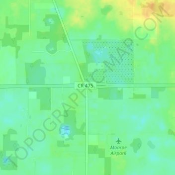
Name: Monroes Corner topographic map, elevation, terrain.
Location: Monroes Corner, Marion County, Florida, 34320, United States (29.01554 -82.12981 29.03554 -82.10981)
Average elevation: 82 ft
Minimum elevation: 43 ft
Maximum elevation: 138 ft
Marion County trails, hiking, mountain biking, running and outdoor activities
Other topographic maps
Click on a map to view its topography, its elevation and its terrain.
Rainbow Springs State Park
United States > Florida > Marion County > Rainbow Falls
Average elevation: 69 ft