Geolocate

Kings Valley topographic map

Click on the map to display elevation.

About this map

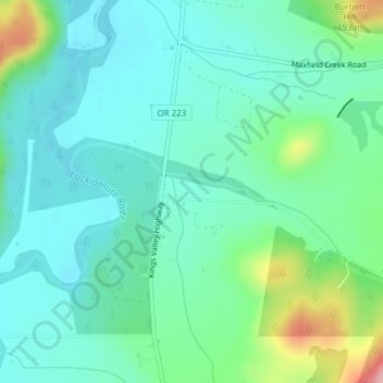
Name: Kings Valley topographic map, elevation, terrain.

Location: Kings Valley, Benton County, Oregon, United States (44.67442 -123.44106 44.69442 -123.42106)

Average elevation: 410 ft

Minimum elevation: 282 ft

Maximum elevation: 833 ft

Benton County trails, hiking, mountain biking, running and outdoor activities

Other topographic maps

Click on a map to view its topography, its elevation and its terrain.

Monroe

United States > Oregon > Benton County

Average elevation: 325 ft

Gear up for your next adventure:

🪑Portable Camp Table - Compact table for campsite meals
🌲Outdoor Survival Books - Best books on survival skills
😴Insulated Sleeping Pads - Compact and warm pads for high-elevation camping
🧤Tactile Hiking Gloves - Keep hands warm while operating GPS and smartphone screens
💧Water Purification System - Clean water on the trail with reliable purifiers

As an Amazon Associate, this site earns from qualifying purchases at no extra cost to you.