Geolocate

Crest topographic map

Click on the map to display elevation.

About this map

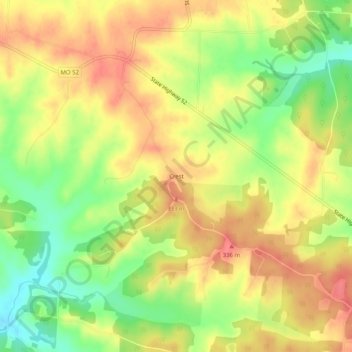
Name: Crest topographic map, elevation, terrain.

Location: Crest, Benton County, Missouri, United States (38.43030 -93.15492 38.47030 -93.11492)

Average elevation: 1,037 ft

Minimum elevation: 912 ft

Maximum elevation: 1,125 ft

Benton County trails, hiking, mountain biking, running and outdoor activities

Other topographic maps

Click on a map to view its topography, its elevation and its terrain.

Lincoln

United States > Missouri > Benton County

Average elevation: 935 ft

Ionia

United States > Missouri > Benton County

Average elevation: 961 ft

Gear up for your next adventure:

🧭GPS Watch Accessories - Bands and chargers for GPS watches
📖Nature Tracking Books - Learn to track wildlife and terrain
🧢Outdoor Hiking Hat - Sun protection hat for outdoor explorers
🩹Survival Bandages - High‑quality bandages for emergencies
🪶Multi‑Purpose Knife - Useful blade for camp and trail

As an Amazon Associate, this site earns from qualifying purchases at no extra cost to you.