Geolocate

Frost topographic map

Click on the map to display elevation.

About this map

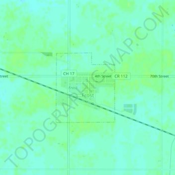
Name: Frost topographic map, elevation, terrain.

Location: Frost, Faribault County, Minnesota, United States (43.57952 -93.93080 43.59028 -93.91829)

Average elevation: 1,122 ft

Minimum elevation: 1,106 ft

Maximum elevation: 1,135 ft

Faribault County trails, hiking, mountain biking, running and outdoor activities

Other topographic maps

Click on a map to view its topography, its elevation and its terrain.

Huntley

United States > Minnesota > Faribault County

Average elevation: 1,093 ft

Gear up for your next adventure:

🖼️Topo Map Wall Art - Decorative topographic prints of famous peaks and regions
🏕️Tent Footprint - Protect your tent base from wear
🥩Freeze-Dried Meals - Nutritious and lightweight food for remote expeditions
🧷Carabiner Set - Durable clips for gear attachment
🗺️NatGeo Topo Maps - High-quality waterproof printed topographic maps of US Parks

As an Amazon Associate, this site earns from qualifying purchases at no extra cost to you.