
Gaur topographic map
Interactive map
Click on the map to display elevation.
About this map
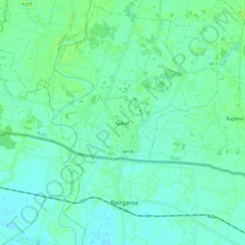
Name: Gaur topographic map, elevation, terrain.
Location: Gaur, Rautahat, Madhesh Province, Nepal (26.72610 85.23492 26.80610 85.31492)
Average elevation: 243 ft
Minimum elevation: 230 ft
Maximum elevation: 259 ft