Geolocate

Buck Lake topographic map

Click on the map to display elevation.

About this map

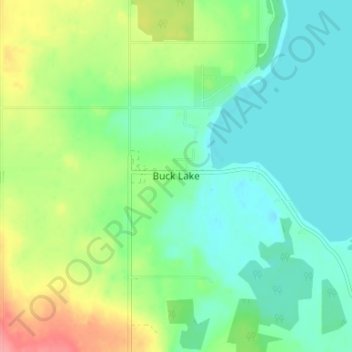
Name: Buck Lake topographic map, elevation, terrain.

Location: Buck Lake, County of Wetaskiwin, Alberta, T0C 0T0, Canada (52.93252 -114.81036 52.97252 -114.77036)

Average elevation: 2,956 ft

Minimum elevation: 2,871 ft

Maximum elevation: 3,140 ft

Gear up for your next adventure:

🌎3D Topographic Globes - Raised relief globes for a tactile understanding of geography
🧭Compass with Lanyard - Easy‑carry compass for navigation
🧭Outdoor Navigation Book - Learn advanced navigation skills
🔭Telescopic Hiking Pole - Adjustable pole for hiking stability
🍳Camping Cook Set - Complete cookware for outdoor meals

As an Amazon Associate, this site earns from qualifying purchases at no extra cost to you.