Geolocate

Dog topographic map

Click on the map to display elevation.

About this map

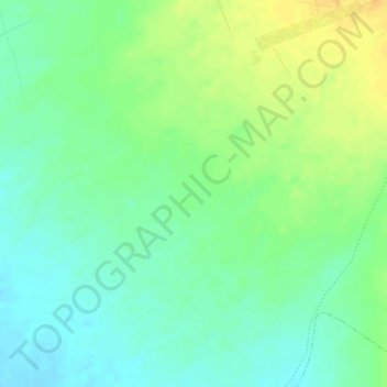
Name: Dog topographic map, elevation, terrain.

Location: Dog, El Ingenio, Province of Nasca, Ica, Peru (-14.71671 -75.14085 -14.69671 -75.12085)

Average elevation: 1,506 ft

Minimum elevation: 1,457 ft

Maximum elevation: 1,562 ft

Other topographic maps

Click on a map to view its topography, its elevation and its terrain.

Tree

Peru > Ica > El Ingenio

Average elevation: 1,535 ft

Hands

Peru > Ica > El Ingenio

Average elevation: 1,545 ft

Lizard

Peru > Ica > El Ingenio

Average elevation: 1,535 ft

Gear up for your next adventure:

🛡️Insect Repellent - Protection against bugs during outdoor activities
🎁Geography Themed Gifts - Unique gift ideas for map lovers and geography enthusiasts
🧯Portable Fire Pit - Compact fire pit for camping spots
📚Navigation Handbooks - Master the art of reading topographic maps and using a compass
🔌Solar Panel Charger - Charge gear sustainably outdoors

As an Amazon Associate, this site earns from qualifying purchases at no extra cost to you.