Geolocate

Dyffryn topographic map

Click on the map to display elevation.

About this map

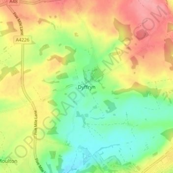
Name: Dyffryn topographic map, elevation, terrain.

Location: Dyffryn, Vale of Glamorgan, Wales, CF5 6SW, United Kingdom (51.41936 -3.32441 51.45936 -3.28441)

Average elevation: 240 ft

Minimum elevation: 75 ft

Maximum elevation: 427 ft

Other topographic maps

Click on a map to view its topography, its elevation and its terrain.

Eglwys Brewis

United Kingdom > Wales > Vale of Glamorgan

Average elevation: 157 ft

Penarth

United Kingdom > Wales > Vale of Glamorgan

Average elevation: 56 ft

Gear up for your next adventure:

🪶Wildlife Field Guides - Learn animal tracking and species ID
🌎3D Topographic Globes - Raised relief globes for a tactile understanding of geography
📖Nature Tracking Books - Learn to track wildlife and terrain
🛶Inflatable Kayak - Portable kayak for rivers, lakes, and expeditions
Camping Coffee Makers - Enjoy premium coffee at the summit or campsite

As an Amazon Associate, this site earns from qualifying purchases at no extra cost to you.