
Monte Real topographic map
Interactive map
Click on the map to display elevation.
About this map
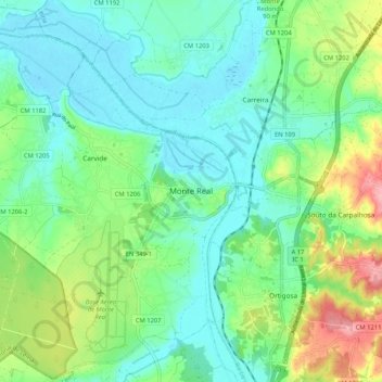
Name: Monte Real topographic map, elevation, terrain.
Location: Monte Real, Leiria, 2425-060, Portugal (39.81086 -8.90461 39.89086 -8.82461)
Average elevation: 131 ft
Minimum elevation: 7 ft
Maximum elevation: 449 ft
Other topographic maps
Click on a map to view its topography, its elevation and its terrain.