
Make a donation
Gear up for your next adventure:
As an Amazon Associate, this site earns from qualifying purchases at no extra cost to you.
Lusío topographic map
Click on the map to display elevation.
Make a donation
Gear up for your next adventure:
As an Amazon Associate, this site earns from qualifying purchases at no extra cost to you.
About this map
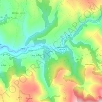
Name: Lusío topographic map, elevation, terrain.
Average elevation: 2,408 ft
Minimum elevation: 1,834 ft
Maximum elevation: 3,294 ft
Make a donation
Gear up for your next adventure:
As an Amazon Associate, this site earns from qualifying purchases at no extra cost to you.
Other topographic maps
Click on a map to view its topography, its elevation and its terrain.
Río Lóuzara
España > Galicia > Sarria > Samos
Nace de la confluencia de varios arroyos que bajan de la Sierra de Rañadoiro, en el ayuntamiento de Piedrafita del Cebrero, entre ellos el río Louzarela. En su tramo inicial hace de límite entre los ayuntamientos de Folgoso de Caurel y de Samos para luego adentrarse en este último, por el cual discurre la…
Average elevation: 3,045 ft
Make a donation
Gear up for your next adventure:
As an Amazon Associate, this site earns from qualifying purchases at no extra cost to you.