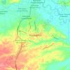
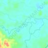
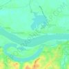
Jambi topographic map
Click on the map to display elevation.
Jambi
The total land area of Jambi city is 169.887 km2 (66 sq mi). Jambi city is located in the southwestern portion of the Sumatran Basin, a low-lying area in Eastern Sumatra with an altitude of 0 to 60m above sea level. A segment of the Batang Hari River, the longest river in Sumatra at 1,700 km (1,056 mi), flows through Jambi City.
About this map
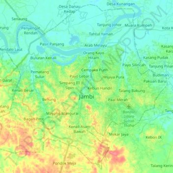
Name: Jambi topographic map, elevation, terrain.
Location: Jambi, Sumatra, Indonesia (-1.69613 103.52422 -1.54667 103.68106)
Average elevation: 72 ft
Minimum elevation: 10 ft
Maximum elevation: 210 ft
Other topographic maps
Click on a map to view its topography, its elevation and its terrain.




Mount Kerinci
Mount Kerinci (Kerinci: Gunung Kincai, Minangkabau: Gunuang Kurinci, Indonesian: Gunung Kerinci), also spelled Kerintji, is an active stratovolcano and the highest mountain in Sumatra, Indonesia. At 12,484 ft (3,805 m) above sea level, it provides Sumatra with the fifth-highest maximum elevation of any island…
Average elevation: 10,594 ft