
Waldo topographic map
Click on the map to display elevation.
About this map
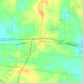
Name: Waldo topographic map, elevation, terrain.
Location: Waldo, Columbia County, Arkansas, 71770, United States (33.33500 -93.31501 33.36786 -93.27374)
Average elevation: 338 ft
Minimum elevation: 285 ft
Maximum elevation: 387 ft
Columbia County trails, hiking, mountain biking, running and outdoor activities
Other topographic maps
Click on a map to view its topography, its elevation and its terrain.