Geolocate

Kirchseeon topographic map

Click on the map to display elevation.

About this map

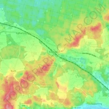
Name: Kirchseeon topographic map, elevation, terrain.

Location: Kirchseeon, Landkreis Ebersberg, Bavaria, 85614, Germany (48.04632 11.83404 48.09283 11.92967)

Average elevation: 1,883 ft

Minimum elevation: 1,732 ft

Maximum elevation: 2,087 ft

Gear up for your next adventure:

🕶️GPS Smartphone Mount - Secure mount for phone navigation
🔌Solar Panel Charger - Charge gear sustainably outdoors
🪶Paracord Bracelet - Survival bracelet with built‑in tools
🎒Gear Packing Cubes - Organize your backpack efficiently
🌐World Map Poster - Decorative world maps with topographic info

As an Amazon Associate, this site earns from qualifying purchases at no extra cost to you.