Geolocate

Jenner topographic map

Click on the map to display elevation.

About this map

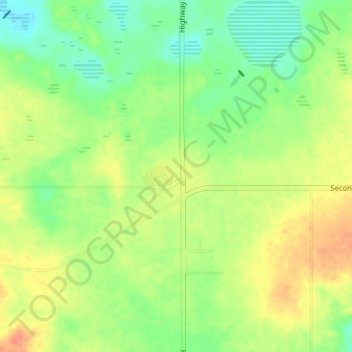
Name: Jenner topographic map, elevation, terrain.

Location: Jenner, Special Area No. 2, Alberta, Canada (50.72817 -111.20313 50.76817 -111.16313)

Average elevation: 2,464 ft

Minimum elevation: 2,398 ft

Maximum elevation: 2,536 ft

Gear up for your next adventure:

🩳Quick‑Dry Hiking Shorts - Comfortable and quick‑dry shorts for summer hiking
🛰️Satellite Messengers - Emergency SOS and two-way messaging for off-grid adventures
🏫Relief Map Kits - Hands-on tools for teaching landforms and elevation
🧣Hiking Neck Gaiter - Multi‑use neck protection for outdoor weather
🧣Merino Neck Gaiters - Multi-functional headwear for wind and sun protection

As an Amazon Associate, this site earns from qualifying purchases at no extra cost to you.