
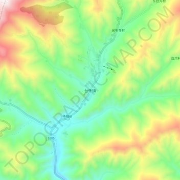
台怀镇 topographic map
Interactive map
Click on the map to display elevation.
About this map
Name: 台怀镇 topographic map, elevation, terrain.
Location: 台怀镇, 五台县, 忻州市, 山西省, 中国 (38.96067 113.54783 39.04067 113.62783)
Average elevation: 6,447 ft
Minimum elevation: 5,059 ft
Maximum elevation: 8,973 ft
Other topographic maps
Click on a map to view its topography, its elevation and its terrain.