Geolocate

Elsberry topographic map

Click on the map to display elevation.

About this map

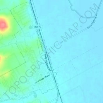
Name: Elsberry topographic map, elevation, terrain.

Location: Elsberry, Lincoln County, Missouri, United States (39.15840 -90.80411 39.18671 -90.77858)

Average elevation: 466 ft

Minimum elevation: 433 ft

Maximum elevation: 686 ft

Lincoln County trails, hiking, mountain biking, running and outdoor activities

Other topographic maps

Click on a map to view its topography, its elevation and its terrain.

New Hope

United States > Missouri > Lincoln County

Average elevation: 728 ft

Gear up for your next adventure:

🔭Stargazing Telescopes - Perfect for camping in low-light pollution areas shown on maps
🎒Outdoor Daypacks - Lightweight backpacks designed for carrying maps and essential gear
🧤Hiking Gloves - Protective gloves for rugged trails
🔥Camping Stove - Portable stove for camping and backcountry cooking
🔋Solar Power Banks - Keep your GPS and phone charged in remote wilderness areas

As an Amazon Associate, this site earns from qualifying purchases at no extra cost to you.