
Suffield topographic map
Click on the map to display elevation.
About this map
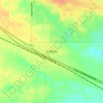
Name: Suffield topographic map, elevation, terrain.
Location: Suffield, Cypress County, Alberta, T0J 2N0, Canada (50.19927 -111.18087 50.23927 -111.14087)
Average elevation: 2,451 ft
Minimum elevation: 2,388 ft
Maximum elevation: 2,516 ft
Other topographic maps
Click on a map to view its topography, its elevation and its terrain.
Cypress Hills Provincial Park
Canada > Alberta > Cypress County > Elkwater
Average elevation: 4,127 ft