
Thank you for supporting this site ❤️
Make a donation
Make a donation
Gear up for your next adventure:
As an Amazon Associate, this site earns from qualifying purchases at no extra cost to you.
Waza topographic map
Click on the map to display elevation.
Thank you for supporting this site ❤️
Make a donation
Make a donation
Gear up for your next adventure:
As an Amazon Associate, this site earns from qualifying purchases at no extra cost to you.
About this map
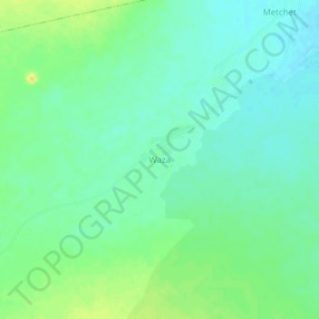
Name: Waza topographic map, elevation, terrain.
Location: Waza, Kaélé, Mayo-Kani, Far-North, Cameroon (10.33592 14.30791 10.37592 14.34791)
Average elevation: 1,365 ft
Minimum elevation: 1,332 ft
Maximum elevation: 1,414 ft
Thank you for supporting this site ❤️
Make a donation
Make a donation
Gear up for your next adventure:
As an Amazon Associate, this site earns from qualifying purchases at no extra cost to you.