Geolocate

Popejoy topographic map

Click on the map to display elevation.

About this map

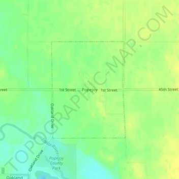
Name: Popejoy topographic map, elevation, terrain.

Location: Popejoy, Franklin County, Iowa, United States (42.58647 -93.43532 42.60104 -93.42017)

Average elevation: 1,158 ft

Minimum elevation: 1,119 ft

Maximum elevation: 1,184 ft

Franklin County trails, hiking, mountain biking, running and outdoor activities

Other topographic maps

Click on a map to view its topography, its elevation and its terrain.

Chapin

United States > Iowa > Franklin County

Average elevation: 1,135 ft

Bradford

United States > Iowa > Franklin County

Average elevation: 1,240 ft

Gear up for your next adventure:

🏫Relief Map Kits - Hands-on tools for teaching landforms and elevation
📖Nature Tracking Books - Learn to track wildlife and terrain
🔦LED Headlamp - Bright and durable LED headlamp for night navigation
Camping Coffee Makers - Enjoy premium coffee at the summit or campsite
🚪Portable Camp Chair - Foldable chair for comfort at camp

As an Amazon Associate, this site earns from qualifying purchases at no extra cost to you.