
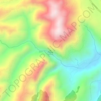
天华山 topographic map
Interactive map
Click on the map to display elevation.
About this map
Name: 天华山 topographic map, elevation, terrain.
Location: 天华山, 祥云县, 大理白族自治州, 云南省, 中国 (25.33984 100.67676 25.33994 100.67686)
Average elevation: 6,608 ft
Minimum elevation: 5,784 ft
Maximum elevation: 7,467 ft
Other topographic maps
Click on a map to view its topography, its elevation and its terrain.