Geolocate

Havelte topographic map

Click on the map to display elevation.

About this map

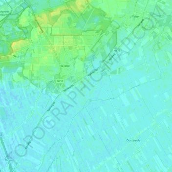
Name: Havelte topographic map, elevation, terrain.

Location: Havelte, Westerveld, Drenthe, Netherlands (52.72931 6.18983 52.79736 6.28132)

Average elevation: 16 ft

Minimum elevation: -3 ft

Maximum elevation: 66 ft

Other topographic maps

Click on a map to view its topography, its elevation and its terrain.

Hondsrug

Netherlands > Drenthe > Exloo

Average elevation: 62 ft

Zuidbarge

Netherlands > Drenthe > Emmen

Average elevation: 66 ft

Lhee

Netherlands > Drenthe

Average elevation: 36 ft

Gear up for your next adventure:

🎒Trekking Poles - Sturdy poles for balance and stability on rough terrain
🩳Quick‑Dry Hiking Shorts - Comfortable and quick‑dry shorts for summer hiking
🪶Trail Camera - Capture wildlife on your hikes
🔋Solar Power Banks - Keep your GPS and phone charged in remote wilderness areas
👓Polarized Sunglasses - Outdoor sunglasses for glare reduction

As an Amazon Associate, this site earns from qualifying purchases at no extra cost to you.