Geolocate

Birds Hill topographic map

Click on the map to display elevation.

About this map

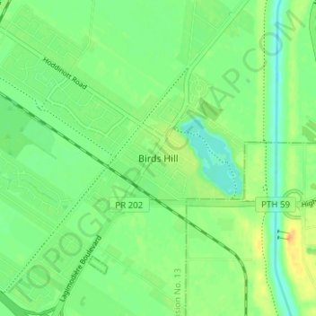
Name: Birds Hill topographic map, elevation, terrain.

Location: Birds Hill, East St. Paul, Manitoba, R2E 1G6, Canada (49.95266 -97.02745 49.99266 -96.98745)

Average elevation: 764 ft

Minimum elevation: 722 ft

Maximum elevation: 827 ft

Gear up for your next adventure:

🔦Powerful Headlamps - Ultra-bright hands-free lighting for night navigation
🎒Trekking Poles - Sturdy poles for balance and stability on rough terrain
🦟Ultrasonic Repellers - Create a bug-free zone at your camp or rest stop
Solar GPS Watches - Advanced multisport watches with built-in topographic maps
🎒Trail Energy Bars - High‑calorie bars for hiking energy

As an Amazon Associate, this site earns from qualifying purchases at no extra cost to you.