Geolocate

Wainwright topographic map

Click on the map to display elevation.

About this map

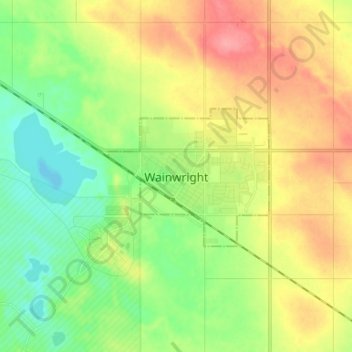
Name: Wainwright topographic map, elevation, terrain.

Location: Wainwright, Town of Wainwright, Alberta, T9W 1C5, Canada (52.79743 -110.90121 52.87743 -110.82121)

Average elevation: 2,247 ft

Minimum elevation: 2,136 ft

Maximum elevation: 2,398 ft

Gear up for your next adventure:

🪶Multi‑Purpose Knife - Useful blade for camp and trail
🧥Men's Rain Shells - Premium waterproof and breathable jackets for mountain weather
🚗GPS Dash Cams - Record your scenic drives through mountain passes and canyons
🔋Rechargeable Batteries - Power up your outdoor devices
📖Nature Tracking Books - Learn to track wildlife and terrain

As an Amazon Associate, this site earns from qualifying purchases at no extra cost to you.