Geolocate

Reeds topographic map

Click on the map to display elevation.

About this map

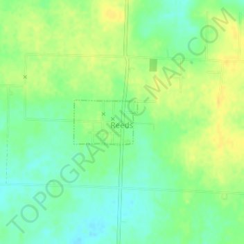
Name: Reeds topographic map, elevation, terrain.

Location: Reeds, Jasper County, Missouri, United States (37.11397 -94.17245 37.11894 -94.16360)

Average elevation: 1,125 ft

Minimum elevation: 1,083 ft

Maximum elevation: 1,165 ft

Jasper County trails, hiking, mountain biking, running and outdoor activities

Other topographic maps

Click on a map to view its topography, its elevation and its terrain.

Joplin

United States > Missouri > Jasper County > Joplin

Average elevation: 984 ft

Belle Center

United States > Missouri > Jasper County

Average elevation: 961 ft

Atlas

United States > Missouri > Jasper County

Average elevation: 1,037 ft

Oakland Park

United States > Missouri > Jasper County > Webb City

Average elevation: 1,020 ft

Center Creek

United States > Missouri > Jasper County > Oronogo

Average elevation: 981 ft

Gear up for your next adventure:

🖼️Topo Map Wall Art - Decorative topographic prints of famous peaks and regions
🔦Powerful Headlamps - Ultra-bright hands-free lighting for night navigation
🪶LED Camping Lantern - Bright lantern for camp lighting
🧭GPS Watch Accessories - Bands and chargers for GPS watches
Backpacking Tents - Weight-optimized shelters for multi-day topographic surveys

As an Amazon Associate, this site earns from qualifying purchases at no extra cost to you.