Geolocate

Paton topographic map

Click on the map to display elevation.

About this map

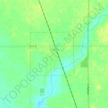
Name: Paton topographic map, elevation, terrain.

Location: Paton, Greene County, Iowa, United States (42.15881 -94.26237 42.16976 -94.24765)

Average elevation: 1,102 ft

Minimum elevation: 1,070 ft

Maximum elevation: 1,129 ft

Greene County trails, hiking, mountain biking, running and outdoor activities

Other topographic maps

Click on a map to view its topography, its elevation and its terrain.

Cooper

United States > Iowa > Greene County

Average elevation: 1,066 ft

Gear up for your next adventure:

🪵Folding Camp Saw - Compact saw for wood and campsite work
🥾Men's Hiking Boots - Durable, waterproof footwear for rugged terrain and steep inclines
🎒Gear Packing Cubes - Organize your backpack efficiently
☀️Outdoor Sunscreen - High protection sunscreen for outdoor activities
🔭Stargazing Telescopes - Perfect for camping in low-light pollution areas shown on maps

As an Amazon Associate, this site earns from qualifying purchases at no extra cost to you.