Geolocate

Schnepfendorf topographic map

Click on the map to display elevation.

About this map

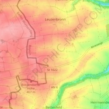
Name: Schnepfendorf topographic map, elevation, terrain.

Location: Schnepfendorf, Rothenburg ob der Tauber, Landkreis Ansbach, Bayern, 91541, Deutschland (49.34095 10.10846 49.38095 10.14846)

Average elevation: 1,476 ft

Minimum elevation: 1,260 ft

Maximum elevation: 1,578 ft

Other topographic maps

Click on a map to view its topography, its elevation and its terrain.

Gear up for your next adventure:

🧢Sun Protection Hats - Wide-brimmed and UPF-rated hats for high-altitude sun safety
📷Action Camera - Capture your outdoor adventures in HD
🪑Portable Camp Table - Compact table for campsite meals
🦶Hiking Gaiters - Keep debris and water out of your boots
Camping Coffee Makers - Enjoy premium coffee at the summit or campsite

As an Amazon Associate, this site earns from qualifying purchases at no extra cost to you.