Geolocate

Olean topographic map

Click on the map to display elevation.

About this map

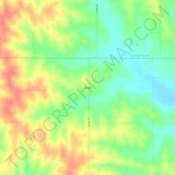
Name: Olean topographic map, elevation, terrain.

Location: Olean, Colfax County, Nebraska, 68641, United States (41.71612 -96.96531 41.75612 -96.92531)

Average elevation: 1,535 ft

Minimum elevation: 1,430 ft

Maximum elevation: 1,657 ft

Colfax County trails, hiking, mountain biking, running and outdoor activities

Gear up for your next adventure:

🧦Merino Wool Socks - Moisture-wicking, blister-preventing socks for long treks
🪶Trail Camera - Capture wildlife on your hikes
🗺️NatGeo Topo Maps - High-quality waterproof printed topographic maps of US Parks
🧢Outdoor Hiking Hat - Sun protection hat for outdoor explorers
🥘Titanium Cookware - Durable, featherlight pots and pans for backpacking

As an Amazon Associate, this site earns from qualifying purchases at no extra cost to you.