
多宋多 topographic map
Interactive map
Click on the map to display elevation.
About this map
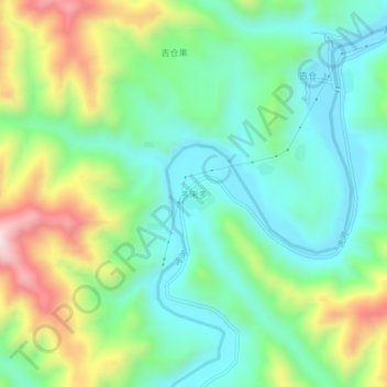
Name: 多宋多 topographic map, elevation, terrain.
Location: 多宋多, 碌曲县, 甘南藏族自治州, 甘肃省, 中国 (34.57579 102.82163 34.61579 102.86163)
Average elevation: 10,066 ft
Minimum elevation: 9,485 ft
Maximum elevation: 11,306 ft
Other topographic maps
Click on a map to view its topography, its elevation and its terrain.