Geolocate

Silver Lake topographic map

Click on the map to display elevation.

About this map

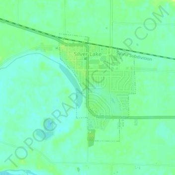
Name: Silver Lake topographic map, elevation, terrain.

Location: Silver Lake, Shawnee County, Kansas, United States (39.09066 -95.86433 39.10729 -95.84908)

Average elevation: 912 ft

Minimum elevation: 889 ft

Maximum elevation: 942 ft

Shawnee County trails, hiking, mountain biking, running and outdoor activities

Other topographic maps

Click on a map to view its topography, its elevation and its terrain.

Berryton

United States > Kansas > Shawnee County

Average elevation: 1,033 ft

Dover

United States > Kansas > Shawnee County

Average elevation: 1,076 ft

Topeka

United States > Kansas > Shawnee County > Topeka

Average elevation: 1,001 ft

Gear up for your next adventure:

🧥Men's Rain Shells - Premium waterproof and breathable jackets for mountain weather
🦺Reflective Outdoor Gear - Safety gear for low‑light conditions
🔊Portable Camp Speaker - Music and alerts at camp
🪓Survival Multi‑Tool - Versatile tool for camp and trail tasks
🎒Hydration Pack - Hands‑free water reservoir for long hikes

As an Amazon Associate, this site earns from qualifying purchases at no extra cost to you.