
Kaldrma topographic map
Click on the map to display elevation.
About this map
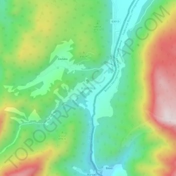
Name: Kaldrma topographic map, elevation, terrain.
Location: Kaldrma, Zadar County, Croatia (44.29129 16.16622 44.33129 16.20622)
Average elevation: 2,822 ft
Minimum elevation: 1,972 ft
Maximum elevation: 4,275 ft