Geolocate

Esterhazy topographic map

Click on the map to display elevation.

About this map

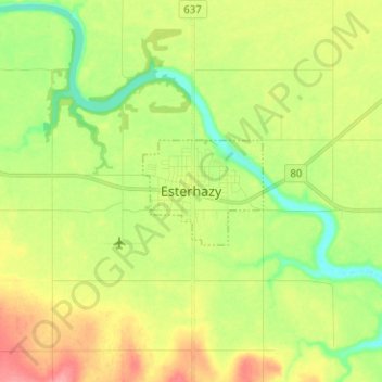
Name: Esterhazy topographic map, elevation, terrain.

Location: Esterhazy, Saskatchewan, S0A 0X0, Canada (50.61362 -102.11634 50.69362 -102.03634)

Average elevation: 1,699 ft

Minimum elevation: 1,578 ft

Maximum elevation: 1,850 ft

Gear up for your next adventure:

🎒Day Hiking Backpack - Lightweight backpack perfect for day trips and outdoor adventures
🥤Water Filter Bottle - All‑in‑one filter bottle for safe hydration
🔥Fast-Boil Camping Stoves - Efficient cooking systems for quick trail meals
🔪Outdoor Multitools - Essential survival tools for gear repair and field use
🎒Trail Energy Bars - High‑calorie bars for hiking energy

As an Amazon Associate, this site earns from qualifying purchases at no extra cost to you.