Geolocate

Hermiston topographic map

Click on the map to display elevation.

About this map

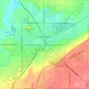
Name: Hermiston topographic map, elevation, terrain.

Location: Hermiston, Umatilla County, Oregon, 97838, United States (45.80593 -119.32672 45.86478 -119.24867)

Average elevation: 525 ft

Minimum elevation: 407 ft

Maximum elevation: 682 ft

Umatilla County trails, hiking, mountain biking, running and outdoor activities

Other topographic maps

Click on a map to view its topography, its elevation and its terrain.

Nolin

United States > Oregon > Umatilla County

Average elevation: 968 ft

Myrick

United States > Oregon > Umatilla County

Average elevation: 1,755 ft

Wallula Gap

United States > Oregon > Umatilla County

Average elevation: 1,027 ft

Meacham

United States > Oregon > Umatilla County

Average elevation: 3,825 ft

Gear up for your next adventure:

🪶Camping Sleeping Pad - Comfortable sleeping pad for backpacking
👟Trail Running Shoes - Lightweight shoes for trail runners
🗺️Topographic Maps - Detailed topo maps for hiking, exploring and outdoor navigation
🪓Survival Multi‑Tool - Versatile tool for camp and trail tasks
🪶LED Camping Lantern - Bright lantern for camp lighting

As an Amazon Associate, this site earns from qualifying purchases at no extra cost to you.