
Tollgate topographic map
Click on the map to display elevation.
About this map
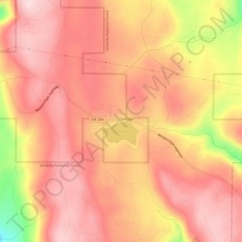
Name: Tollgate topographic map, elevation, terrain.
Location: Tollgate, Umatilla County, Oregon, United States (45.76077 -118.11131 45.80077 -118.07131)
Average elevation: 4,961 ft
Minimum elevation: 4,275 ft
Maximum elevation: 5,220 ft
Umatilla County trails, hiking, mountain biking, running and outdoor activities
Other topographic maps
Click on a map to view its topography, its elevation and its terrain.