Geolocate

Broughton topographic map

Click on the map to display elevation.

About this map

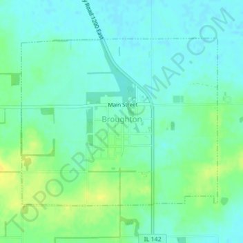
Name: Broughton topographic map, elevation, terrain.

Location: Broughton, Hamilton County, Illinois, 62817, United States (37.92511 -88.47617 37.94377 -88.44849)

Average elevation: 387 ft

Minimum elevation: 361 ft

Maximum elevation: 433 ft

Hamilton County trails, hiking, mountain biking, running and outdoor activities

Other topographic maps

Click on a map to view its topography, its elevation and its terrain.

University

United States > Illinois > Hamilton County

Average elevation: 449 ft

Gear up for your next adventure:

📦Gear Storage Bags - Organize and protect outdoor equipment
🪑Portable Camp Table - Compact table for campsite meals
GPS Sports Watch - GPS watch for running, hiking and training
🧢Sun Protection Hats - Wide-brimmed and UPF-rated hats for high-altitude sun safety
🩹Survival Bandages - High‑quality bandages for emergencies

As an Amazon Associate, this site earns from qualifying purchases at no extra cost to you.