Geolocate

Vina topographic map

Click on the map to display elevation.

About this map

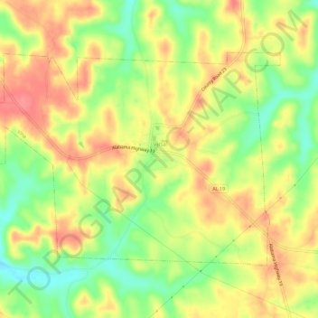
Name: Vina topographic map, elevation, terrain.

Location: Vina, Franklin County, Alabama, 35593, United States (34.35962 -88.09164 34.39046 -88.03589)

Average elevation: 692 ft

Minimum elevation: 561 ft

Maximum elevation: 801 ft

Franklin County trails, hiking, mountain biking, running and outdoor activities

Other topographic maps

Click on a map to view its topography, its elevation and its terrain.

Union

United States > Alabama > Franklin County

Average elevation: 988 ft

Bear Creek

United States > Alabama > Franklin County > Red Bay

Average elevation: 627 ft

Liberty Hill

United States > Alabama > Franklin County

Average elevation: 928 ft

Gear up for your next adventure:

🏕️Family Camping Gear - Essentials for group camping trips
🦟Ultrasonic Repellers - Create a bug-free zone at your camp or rest stop
🧭Map Reading Tools - Tools and kits for map navigation
🍳Camping Cook Set - Complete cookware for outdoor meals
🔌USB Car Charger - Car charger for on‑the‑go power needs

As an Amazon Associate, this site earns from qualifying purchases at no extra cost to you.