Geolocate

Callaway-Garrison topographic map

Click on the map to display elevation.

About this map

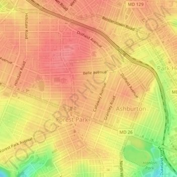
Name: Callaway-Garrison topographic map, elevation, terrain.

Location: Callaway-Garrison, Baltimore, Maryland, United States (39.32638 -76.68426 39.33560 -76.67546)

Average elevation: 407 ft

Minimum elevation: 243 ft

Maximum elevation: 472 ft

Maryland trails, hiking, mountain biking, running and outdoor activities

Other topographic maps

Click on a map to view its topography, its elevation and its terrain.

Ravens' Walk

United States > Maryland > Baltimore

Average elevation: 49 ft

Riverside Park

United States > Maryland > Baltimore

Average elevation: 16 ft

Gear up for your next adventure:

🔥Plasma Lighters - Windproof lighters that work in any weather condition
Solar GPS Watches - Advanced multisport watches with built-in topographic maps
❄️Traction Cleats - Prevent slips on icy trails during winter hikes
🔋Rechargeable Batteries - Power up your outdoor devices
🧼Biodegradable Camping Soap - Eco‑friendly soap for outdoor hygiene

As an Amazon Associate, this site earns from qualifying purchases at no extra cost to you.