
Cherokee topographic map
Click on the map to display elevation.
About this map
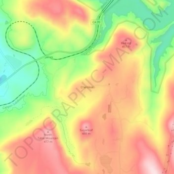
Name: Cherokee topographic map, elevation, terrain.
Location: Cherokee, Butte County, California, United States (39.62627 -121.55830 39.66627 -121.51830)
Average elevation: 1,178 ft
Minimum elevation: 604 ft
Maximum elevation: 1,663 ft
Butte County trails, hiking, mountain biking, running and outdoor activities
Other topographic maps
Click on a map to view its topography, its elevation and its terrain.